Welcome to AfroMap
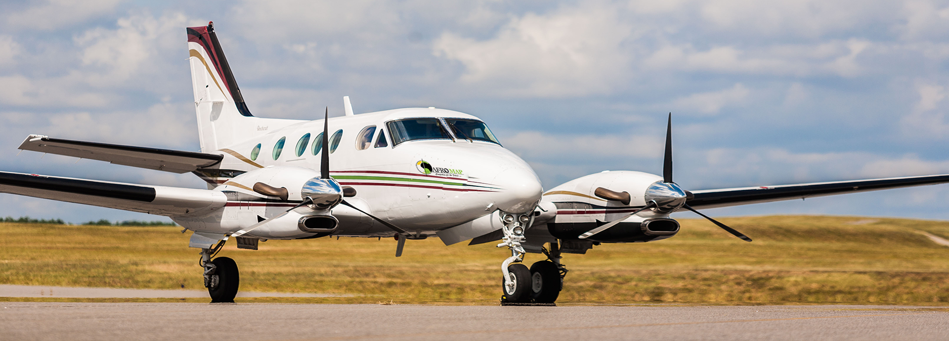
AFROMAP provides the people, equipment expertise and technology that support the exploration, development, production and transportation of the world's natural resources.
About Us
AFROMAP established in 2007, as leading Provider Company to serve the needs for geospatial information and Vehicle Tracking System in the Sudan and the region.
Our Mission
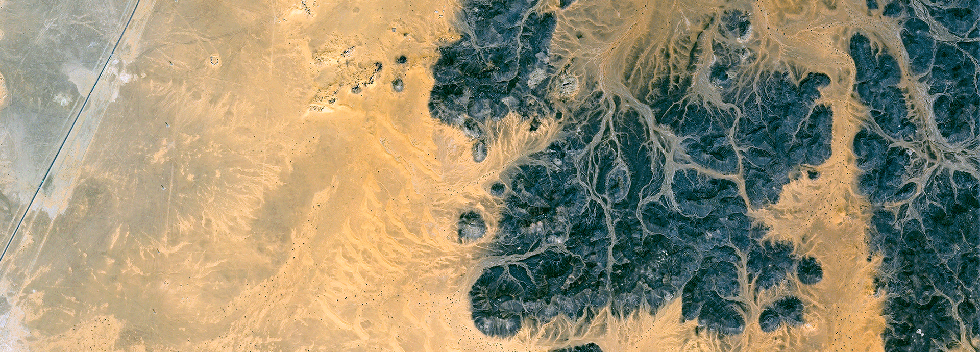
AFROMAP's mission is to be the worldes leading service provider for the collection and interpretation of data relating to the earth& surface and sub-surface and for associated services and advice in support of infrastructure development on land.
Read MoreOur Services
Geomatics
Assertively target turnkey technologies whereas covalent ROI. Distinctively grow viral mindshare rather than collaborative meta-services redibly initiate.
Geophysics
Assertively target turnkey technologies whereas covalent ROI. Distinctively grow viral mindshare rather than collaborative meta-services redibly initiate.
GIS &SATELLITES IMAGE
Assertively target turnkey technologies whereas covalent ROI. Distinctively grow viral mindshare rather than collaborative meta-services redibly initiate.
TRACKING & NAVIGATION
Assertively target turnkey technologies whereas covalent ROI. Distinctively grow viral mindshare rather than collaborative meta-services redibly initiate.
What our Clients Say
AFROMAP established in 2007, as leading Provider Company to serve the needs for geospatial information and Vehicle Tracking System in the Sudan and the region. AFROMAP is the company has a valid license In Arial photogrammetric and tracking system In Sudan.
Jamal M.hassnain, Board Chairman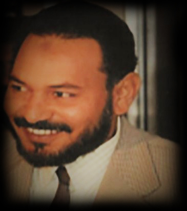
AFROMAP also provides its clients with the technical data and information required to design, construct and maintain structures and infrastructure in a safe, reliable and efficient manner,AFROMAP delivers these services from a global network of offices and facilities.
Jamal M.hassnain, Board Chairman
AFROMAP strives to achieve strong market positions based on (in-house developed) technologies, high-value services and a strong international or regional presence.
Jamal M.hassnain, Board Chairman