AIR BORNE & REMOTE SENSING
AFROMAP provides a high quality and precision non- contacted data which is basic information for:
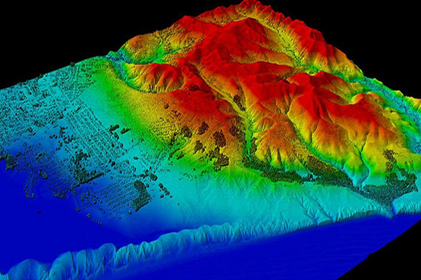
- Mapping applications (Contour maps, details map, Digital Elevation Model (DEM), Digital Terrain Model (DTM) and other digital models).
- Town planning and re planning.
- Agricultural studies (production estimating,best exportation routes... etc.
- Forests, water resources and any Other environmental studies.
- Roads first studies
AIR BORNE & REMOTE SENSING
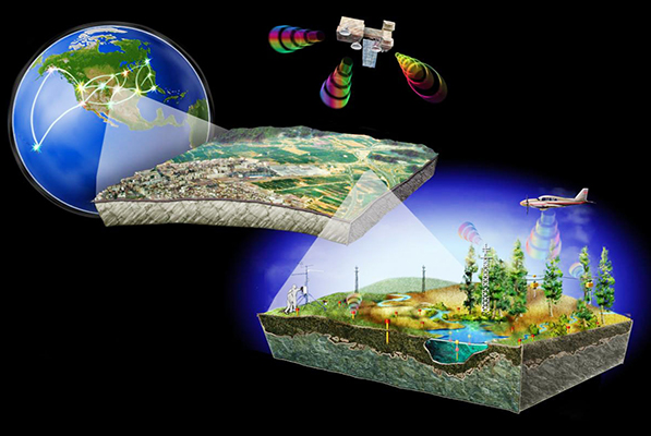
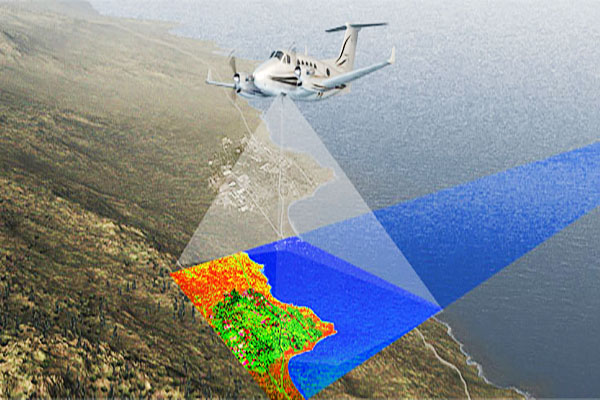
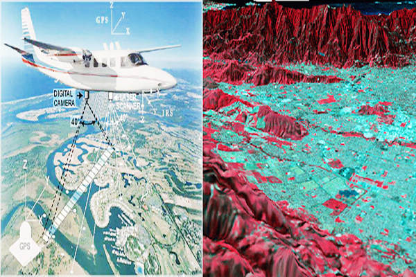
Remote sensing is the acquisition of information about an object or phenomenon, without making physical contact with the object. In modern usage, the term generally refers to the use of aerial sensor technologies to detect and classify objects on Earth (both on the surface, and in the atmosphere and oceans) by means of propagated signals (e.g. electromagnetic radiation emitted from aircraft or satellites).
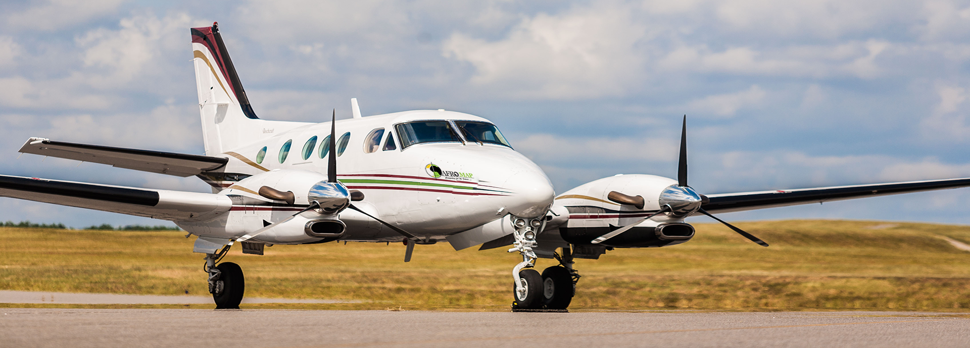
AFROMAP provides two kinds of digital images depend on scanning type: The company provides a high quality digital aerial photos (down to 0.03 meter resolution), and digital models,Using high quality digital camera and surveying specialized aero plan.